Toronto Hydro’s PowerLens for BlackBerry is quite neat:
 That’s real data from my home meter, folks.
Toronto Hydro’s PowerLens for BlackBerry is quite neat:
That’s real data from my home meter, folks.

Someone was inexpertly practicing scales on a brass instrument nearby. The wind brought the smell of an early spring barbecue.

Just spent a pleasant morning munging gps data and photos using Prune. It has allowed me to edit a complex GPS track, add many photos, correctly correlate them to GPS locations, and save it all back out in a variety of useful formats.
I see that the author is talking about producing a native KDE version. Noooo! I like my Java. It runs everywhere.
(Incidentally, I see that with the recent software update, the Blackberry Curve will now geotag images from the camera. It’s now a really good “I was here” device – coming close to the “Utensil” that Robyn Hitchcock spoke about years ago.)

MidpSSH on my Blackberry talking to a screen session on my home server running a bittorrent client (and no, this doesn’t mean that I was torrenting over a mobile network).

Dan Jones and Dave Snider playing an impromptu set at Sam Bonds Garage (Brian Patrick is out of shot).
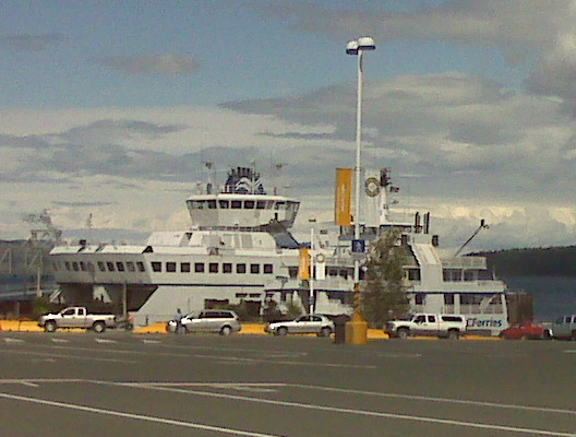
Nothing quite like missing the Tsawwassen ferry by one minute.
(And this post was photographed and sent entirely on blackberry. The geotag I cheated and used my Garmin. I had time to kill …)
I like bbtracker -it’s a very simple GPS track logger for the Blackberry. It has (at least, at the current version) one problem – you can’t create waypoints in the way that most GPS applications would expect. You can, however, name trackpoints – so I wrote a little perl script to extract all the named trackpoints from an exported GPX files, and save them as waypoints.
Download bbtrackerwpt – converts named trackpoints from bbtracker GPX into waypoints. You’ll need XML::Simple for this to work.
I imagine this script has a limited audience, and quite likely a limited lifetime. The author of bbtracker has said they’d provide waypoint support in the next version. You know me and patience, though …
If I remembered more XSLT, I’d have done this the proper way. As is, I create XML using Perl print statements. I’m probably okay, as the name field is the only piece of free-form text, and I do some rudimentary escaping of characters that XML doesn’t like. The output seems to validate, which is more than the GPX that bbtracker produces does. The length of your GPS track may vary 😉
We were testing wind turbines yesterday.

Not the best picture, but it is a running Vestas V82.


