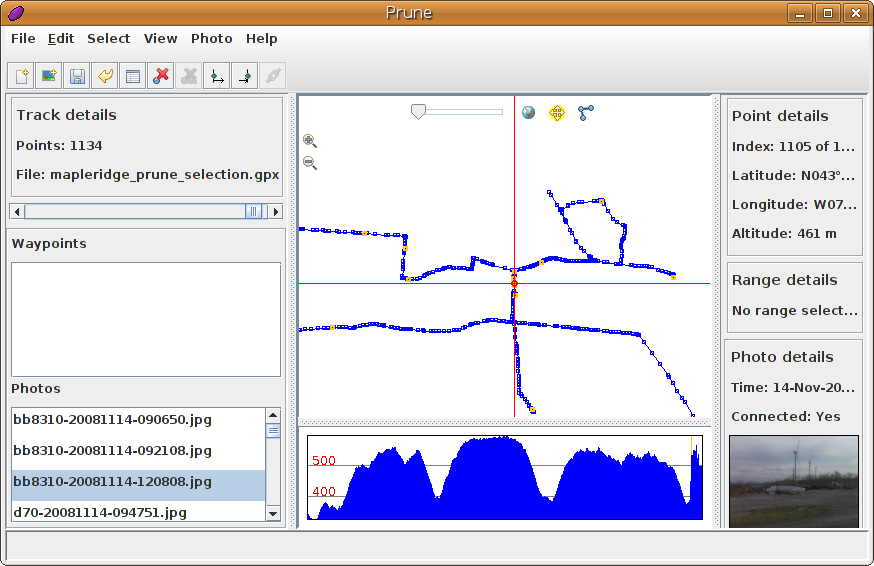
Just spent a pleasant morning munging gps data and photos using Prune. It has allowed me to edit a complex GPS track, add many photos, correctly correlate them to GPS locations, and save it all back out in a variety of useful formats.
I see that the author is talking about producing a native KDE version. Noooo! I like my Java. It runs everywhere.
(Incidentally, I see that with the recent software update, the Blackberry Curve will now geotag images from the camera. It’s now a really good “I was here” device – coming close to the “Utensil” that Robyn Hitchcock spoke about years ago.)
You can also do this with exiftool.