There’s a bit of a stooshie going on in Ontario renewables circles about a proposed 5km minimum shoreline setback for offshore wind turbines in the Great Lakes. This pretty much kills most projects through infrastructure costs — deep lake foundations are expensive, as is submarine cable. Please express your opposition.
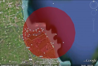
I’ve flown over Middelgrunden, and found it to be an icon in Copenhagen’s harbour. With some freehand tracing in Google Earth and some minor GIS skills (hey, I’m learning), here’s how much of Copenhagen is within 5km of the turbines:
That looks like quite a lot; lots of homes and tourist attractions, and not just the harbour. If you want a closer look, here’s the buffer in KML format: Middelgrunden-5km.kml.
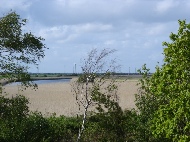
I’m trying to find the location of the turbine 500m from shore at Hooksiel, but maybe it’s a bit new for Google Earth imagery. Fixed that for me:

File: BARD Hooksiel 5km buffer.kml


