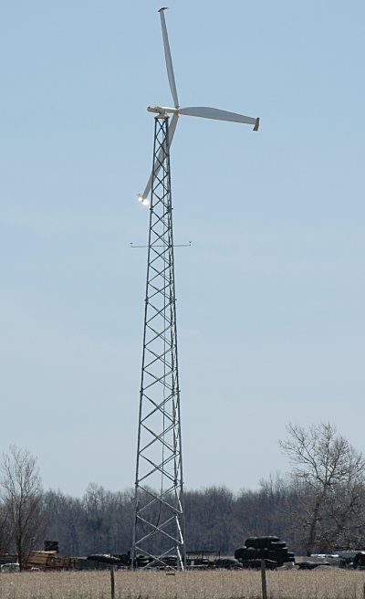
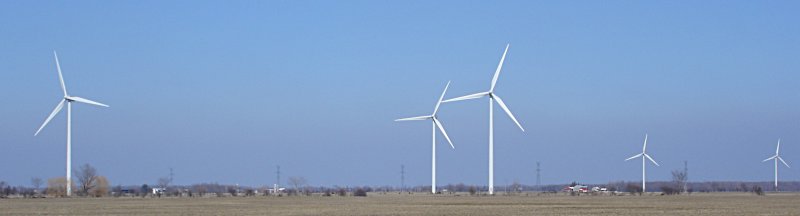
I’ve been using my GPS to track roads around the wind farm. I’m most disappointed with the coverage that Garmin’s MetroGuide Canada gives. Sure, Ashfield-Colborne-Wawanosh might not be Canada’s most vibrant metropolis, but it seems that much of the MetroGuide routing is screwy around the Huron shores. A couple of frinstances:
Hwy 21 around Goderich is about 100-300m of its location, and the junction from Hwy 8 is almost a kilometre out. The GPS does an amusing “Hey, make a turn … whoa, how’d you get here?” kind of thing as you come into Goderich.According to MetroGuide Canada, you are “Arriving at Lucknow” when you’re on Hwy 21. Lucknow’s almost 20km from Hwy 21. It also doesn’t seem to know about routing along Hwy 86, and also tries to route you across an entirely imaginary road near Belgrave Road.Visiting friends near Wingham last night, the GPS suggested I should go back to Goderich via Clinton, a detour of 20km.
I know I didn’t really need to use the GPS for this (except I now know how to navigate the backroads of Wingham), but some of the map choices it was giving me were downright useless.
Helps if you load the right map …