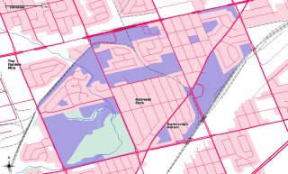
My neighbourhood, Kennedy Park, is pretty much defined by the CNR tracks at the southeast and northwest corners. This is Toporama Web Map Service data overlaid on the toronto.ca | Open neighbourhood polygon:

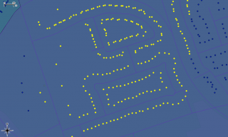
It’s all lit up! These are the houses in my streets, each one highlighted in QGIS:

More GIS nerdry at Numpty’s Progress.