my neighbourhood, according to CanVec

my neighbourhood, according to CanVec and QGIS

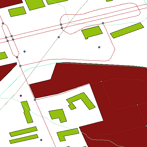
Canada has recently released most of its geodata for free – Go Canada! I was particularly interested in CanVec, the large vector topographical set. I downloaded the set for Toronto and environs, and slapped it into QGIS. With nearly all the layers on, my neighbourhood looks like the above.

I didn’t find any labels, or much in the way of documentation for this huge data set. It would be a shame if good metadata weren’t available, for it adds real utility to the map data.

Comments

2 Responses to “my neighbourhood, according to CanVec”

  1. […] outside the confines of their cubicle). The sole reference I could find is Stewart Russell’s my neighborhood, according to Canvec. A modest project to be sure, but I’m happy to see the first one off the block is one of this […]

  2. […] played with it before, and do occasionally drag out a layer at work, but have never got much further than that. GIS types […]

Leave a Reply

Your email address will not be published. Required fields are marked *