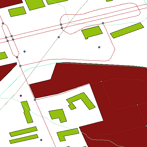
Canada has recently released most of its geodata for free – Go Canada! I was particularly interested in CanVec, the large vector topographical set. I downloaded the set for Toronto and environs, and slapped it into QGIS. With nearly all the layers on, my neighbourhood looks like the above.
I didn’t find any labels, or much in the way of documentation for this huge data set. It would be a shame if good metadata weren’t available, for it adds real utility to the map data.