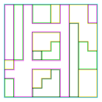
Being able to see this represents quite a bit of work on my part. It’s the output from WAsP‘s map editor, reprsenting some terrain roughness data exported from Surfer.
The original data set looks a bit like this:

It’s a grid of values. Unfortunately, WAsP wants the boundaries, and it took me a while to work out a (rather inefficient) algorithm to find them.
Now I have to go off and recode this in Fortran 90. I’m glad that the Intel® Fortran Compiler for Linux is available free.